Fri July 27, Day 84: Bustards Islands
Sat July 28, Day 85: Bad River
Sun July 29, Day 86: Covered Portage
Mon July 30, Day 87: Baie Fine
Tues July 31, Day 88: Frazer Bay
After leaving Wright’s Marina in Britt, we motored further northwest along the Georgian Bay coast towards a remote group of islands called the Bustards, where we anchored along with Marc’s Ark, Quest and Blue Heron in a tight little anchorage between Strawberry Island and Tie Island. Once we’re satisfied that our anchor is secure, we deployed Ricky-Dink over the side, and took an exploratory tour of the several islands separated by narrow channels with steep rocky walls.
On Saturday (7/28), we pulled up the anchor and headed further north toward Bad River, which is a lagoon down a narrow and shallow channel, which required Belinda & Dawn to maintain a watch on the bow to alert us of any granite boulders hiding just below the surface. Channel markings are only occasionally present, so the absence of navigational buoys and daymarks does not necessarily mean safe waters. One of the highlights of Bad River is a chute of water that feeds into the anchorage basin and squeezes between 20 foot walls and into the lagoon. So, the “thing to do” here is to run the dinghy almost full speed through the 15 foot wide mini-canyon pushing the dinghy against the 5 knot current, which we did (of course), which was a nail-biter, especially since the water level is reported to be 14” down from last year. Then, to turn around, this time with the current, and shoot out of the canyon back into the lagoon, at an accelerated speed above which Ricky-Dink has probably never experienced.
On Sunday morning, we awoke early and headed out in order to hook up with Joe & Tara on Seabatical, further up into the North Channel in a beautiful anchorage, called Covered Portage, on the far side of Killarney, Ontario. Entering Covered Portage (or as the French call it “Portage Couvert”), we were surrounded by 100 ft. cliffs of sheer granite rimming the emerald green waters, where we shared the bay with an estimated 40-50 boats. After lunch, we embarked in Ricky-Dink for a tour of the bay, and beached the dinghy on the innermost shore and went on a very steep hike/climb up to the top of the rock cliffs overlooking the bay. Since we only have a few days left with Al & Dawn, we want to make the most of the time remaining and see as many bays and anchorages as we can. We’ve noticed that as we go north, the water is getting clearer and the shores are mostly pink and gray granite, accentuated with pine & other evergreen trees.
The next day, Monday, we depart for Baie Fine, which is a narrow fiord north of Covered Portage, approximately 10 miles long by ½ mile wide. At the end of the fiord is a very small anchorage called “The Pool” which is advertised to be large enough for a half-dozen boats. When we arrived at The Pool (via Ricky-Dink, since we anchored in the main body of water in Baie Fine), we were surprised to find about 2 dozen boats squeezed into the anchorage. On shore, there were several trails to take advantage of, so the 6 of us (which included Joe & Tara) took a 2 mile hike up to the top of the ridge where we enjoyed our lunch at our destination, Topaz Lake, which is a crystal blue/green lake reported to be over a hundred feet deep, surrounded by steep striated granite. Some of the walls are not so steep to provide steps to enable a smooth entry into the very brisk water. In other places, it is possible to maneuver around the boulders and stand 20-30 feet over the water, looking almost straight down into the breath-taking pool below where some (including Jim, Al & Tara) leap out and over the rocks below and plunge into the icy pool. After our hike back to Ricky-Dink, we returned to the mother ship, Rickshaw, after dropping Joe & Tara off at their boat. After a short period of changing into dry clothes on Rickshaw, we invited ourselves back onto Seabatical for happy hour cocktails and snacks before returning to Rickshaw for another wonderful dinner on the aft-deck.
The next day, Tuesday, we motored a short 11 miles, to a small horseshoe-shaped cove at the end of Frazer Bay. So far on our Great Loop adventure, we’ve seen rain or even rain clouds only a couple of days. But, in the past few days, we’ve had more overcast days with brief periods of downpours. So we have to time our passages and our dinghy excursions carefully and some days, elect to only go short distances Even though the water has been getting clearer the further north and west we go, in this particular anchorage, the water is so clear we can see the bottom 15 feet down perfectly. So clear, in fact, that during a dice game, Farkle, on the aft deck with Al, Dawn, Tara & Joe, when one of the dice bounced off the table and over the toerail of the boat, we could easily see the die sitting on the bottom 10 feet down, landing with the number 2 face up. After our brief dinghy exploration, which was cut short by ominous rain clouds building on the horizon, we taught Joe & Tara how to play Farkle on our aftdeck, and then ended the day with a chilly swim/wash down off the swim platform, before feasting on Belinda’s famous crabcakes while watching the full moon come up over the eastern shoreline.
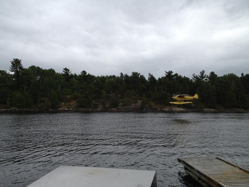 Lots of seaplanes in this part of the world. Not a lot of roads but plenty of landing strips! 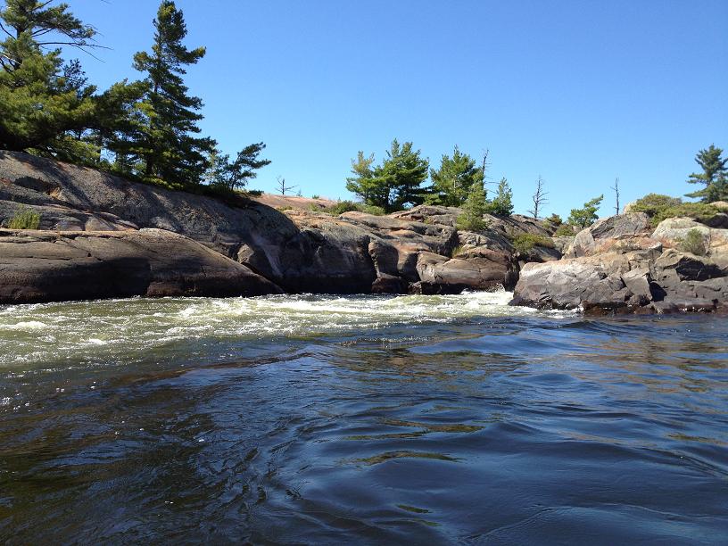 Here is the 5 knot current we had to push thru to get up the creek in Ricky-Dink. 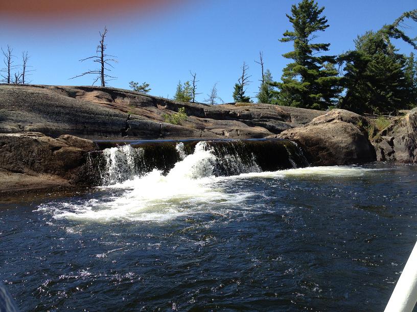 This is what we found up that creek - another waterfall. 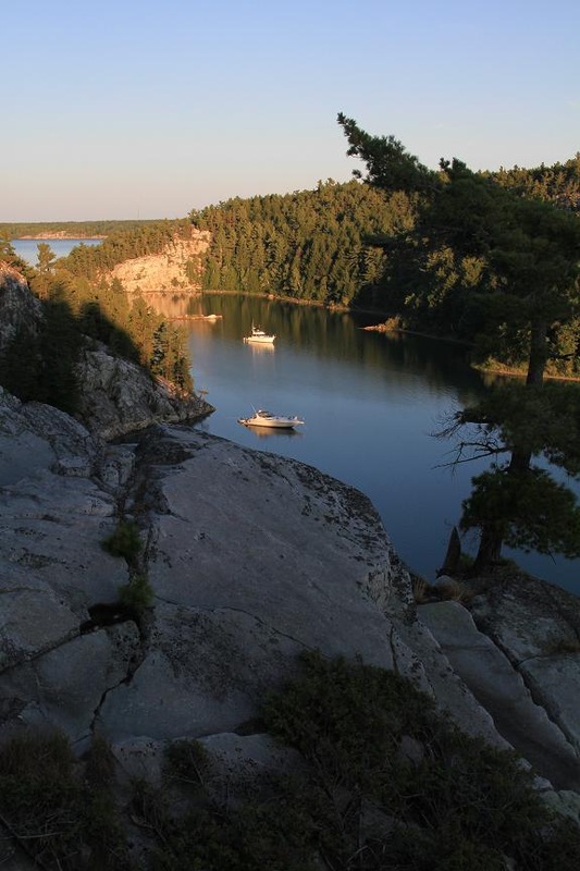 The inner bay at Covered Portage or Portage Couvert in French. 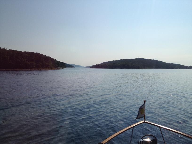 Going into Baie Fine was like entering fiords. 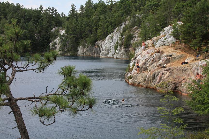 At the end of Baie Fine is the trail head for a hike to Topaz Lake. And at the end of the hike here is the view! 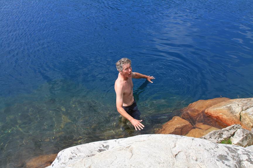 We were all anxious to get into the amazing water, but once Belinda saw the look on Joe's face......she decided it was too cold for her. 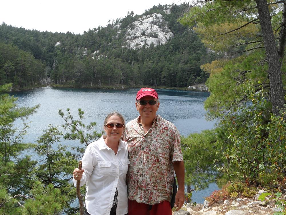 Belinda and Jim - all grins after a great afternoon of hiking, picnicking and swimming with Dawn, Al, Tara and Joe. 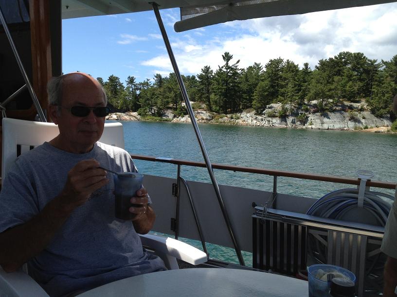 Jim having a root beer float on the aft deck. | 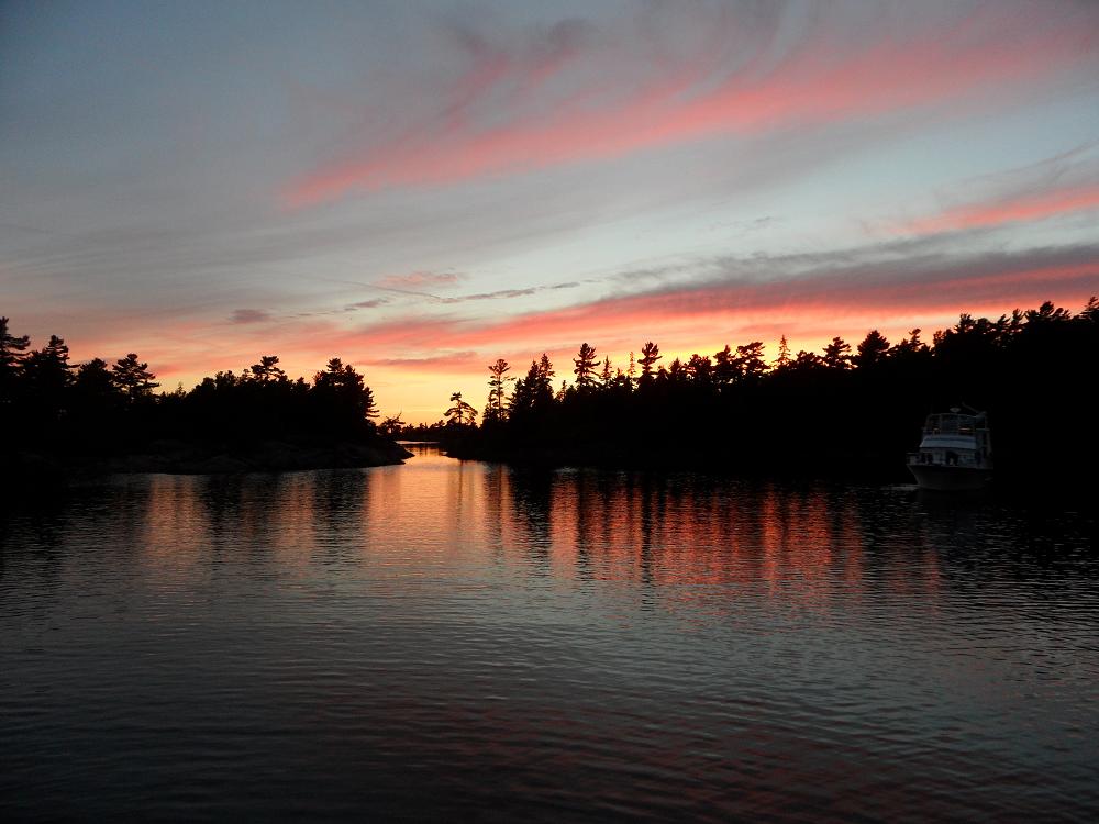 Sunset in the Bustards. Quest is a silhouette on the right. 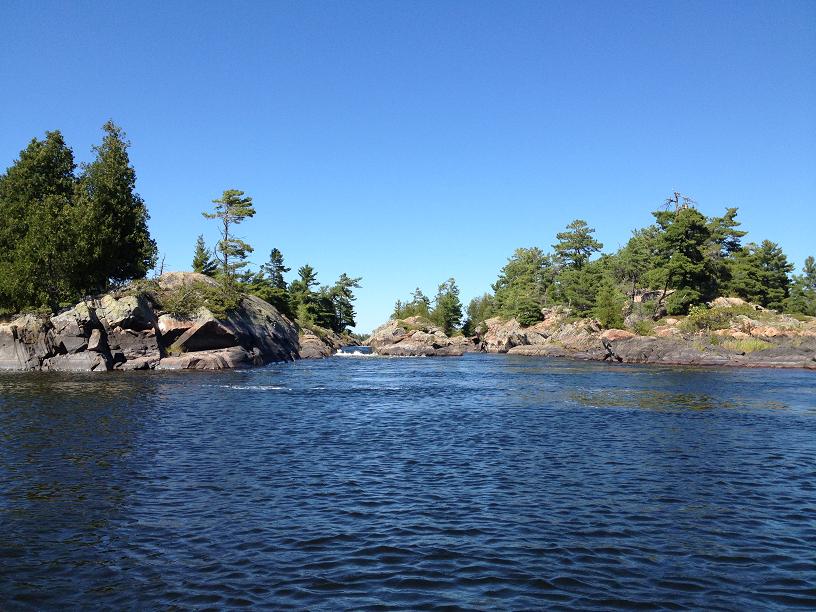 We decided to explore up the right side of this creek. Notice the waterfall on the left side. 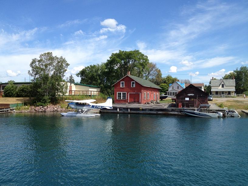 While passing through Killarney we found this red building with sea plane sitting in emerald green water quite picturesque. 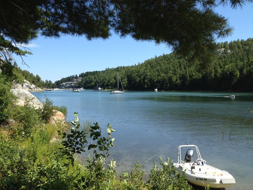 Ricky-Dink tied up at the end of the inner bay while we took a hike to top of the rock in the left photo. 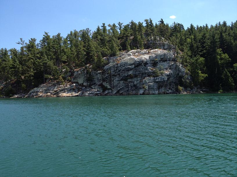 A very pretty rock outcropping in Covered Portage. 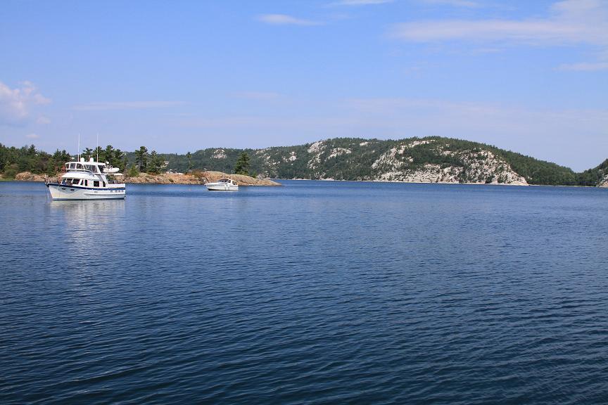 Rickshaw sitting at anchor in Baie Fine. 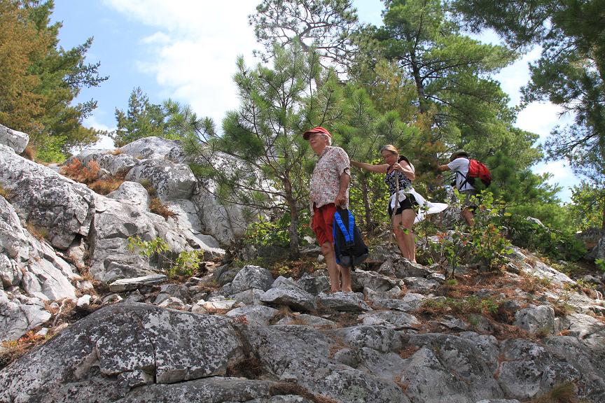 We all hiked down the rocks (Belinda needed a little crutch) to get to the BEAUTIFUL TOPAZ colored water. Our cameras could not do the water color justice. 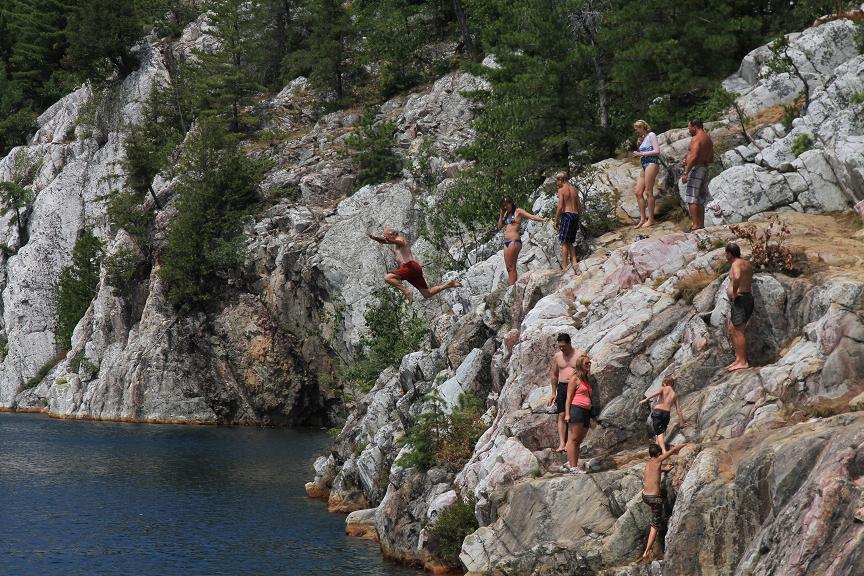 Jim, however, was not afraid of the cold water or the rocks. Here he is - in mid air with the red trunks on - jumping in.  Joe and Tara, from Seabatical coming to visit via their dinghy. 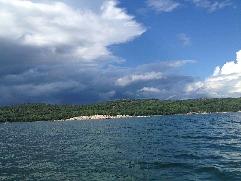 The ominous clouds the cut our dinghy ride short. |
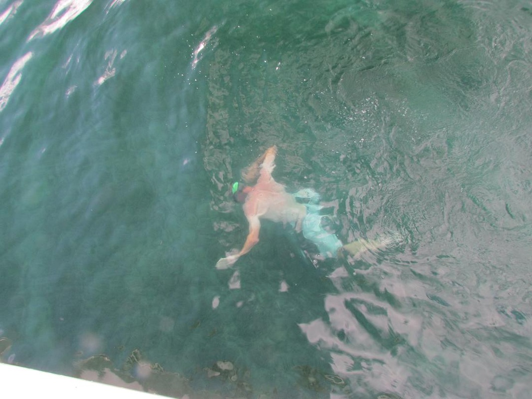
Poor Joe! We made him believe that his dropping the die overboard would put a permanent end to all Farkle games. So we made him jump in to retrieve it from 10 feet below. Not until he returned with the die did we let him know we actually had 12 more on board.
 RSS Feed